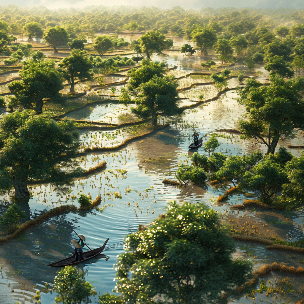
Imagine a mosaic of lush green fields, verdant and tranquil, where farm life blooms in the tender embrace of nature. Now picture this serenity being brushed away by a capricious deluge that transforms land into an expansive, watery mirror. This is the current reality for the farming communities in Thailand’s deep South, vividly captured in the imagery beamed back to Earth by the Geo-informatics and Space Technology Development Agency (GISTDA), revealing a landscape besieged by floods.
Down in the verdant province of Pattani, water has laid siege to a staggering 6,940 hectares. Here, the floods have not merely kissed the land but have taken it into a full embrace. Following close behind is Narathiwat province, a melancholy runner-up in this watery race, with 5,030 hectares succumbing to the inundation. Further along the water’s path, Yala province weeps for its 1,222 hectares, while Songkhla province looks on with resignation at its 256 hectares of submerged soil.
In the midst of this watery chaos, the hardest hit are the rice fields – the very heart of the region’s agriculture, where 3,637 hectares of paddy fields now lie dormant under the reflective stillness of floodwaters. Beyond the grains, low-lying agricultural lands cradle the sorrow of other crops, fruit trees and vegetables, their fate intertwined with the swollen rivers they’ve grown beside. Communities nestled here, alongside trickles of roads and highways, now navigate a liquid landscape where fish could swim across tarmacs.
The Ministry of Agriculture and Cooperatives, with careful analysis and measured concern, paints a broader picture that extends across five beleaguered provinces: Yala, Pattani, Narathiwat, Songkhla, and Satun. They chronicle a tale of disruption where the rhythm of farming life – once defined by seasons and sun – is now punctuated by the relentless rains and surges that come to visit.
Yala, Pattani, and Narathiwat have emerged as the trio bearing the brute force of the floods’ impact on agriculture. The numbers are more than just figures on a page: they symbolize the livelihood of 15,524 farmers and speak of the 4,755 hectares of aspirations, toil, and sweat now underwater. It’s a stage where 35% of the curtain falls over rice paddies, and the rest over fields of other crops that flesh out the abundance of the region’s tables.
Fisheries, the aquatic counterparts to the land-tethered crops, are also facing their own version of Armageddon in Yala and Narathiwat. Imagine, if you will, the grim sight of 1,420 farmers staring at the blank faces of 87.68 hectares of fish ponds, once teeming with life and now part of the flood. Not to mention the 4,723 square metres of floating fish cages, their contents swirling in the uncontrollable eddies of fate.
However, the floods’ grip did not end there, for they have an unsated appetite for chaos. Narathiwat, struck yet again, mourns its other cherished denizens: the livestock. There, 13,443 farmers stand amidst a silence broken only by the soft murmurs of 181,655 farm animals – cattle, buffalo, pigs, goats, sheep, and the feathered choirs of poultry – all now at the mercy of this relentless tide.
In the quiet moments between rainfall, one can only hope that the verdant patchwork quilt of Thailand’s southern provinces will be sewn back together, that the waters will recede, and life will once more follow its gentle, predictable patterns. Until then, the farmers can only watch, wait, and cling to the hope of a dry dawn.


Be First to Comment