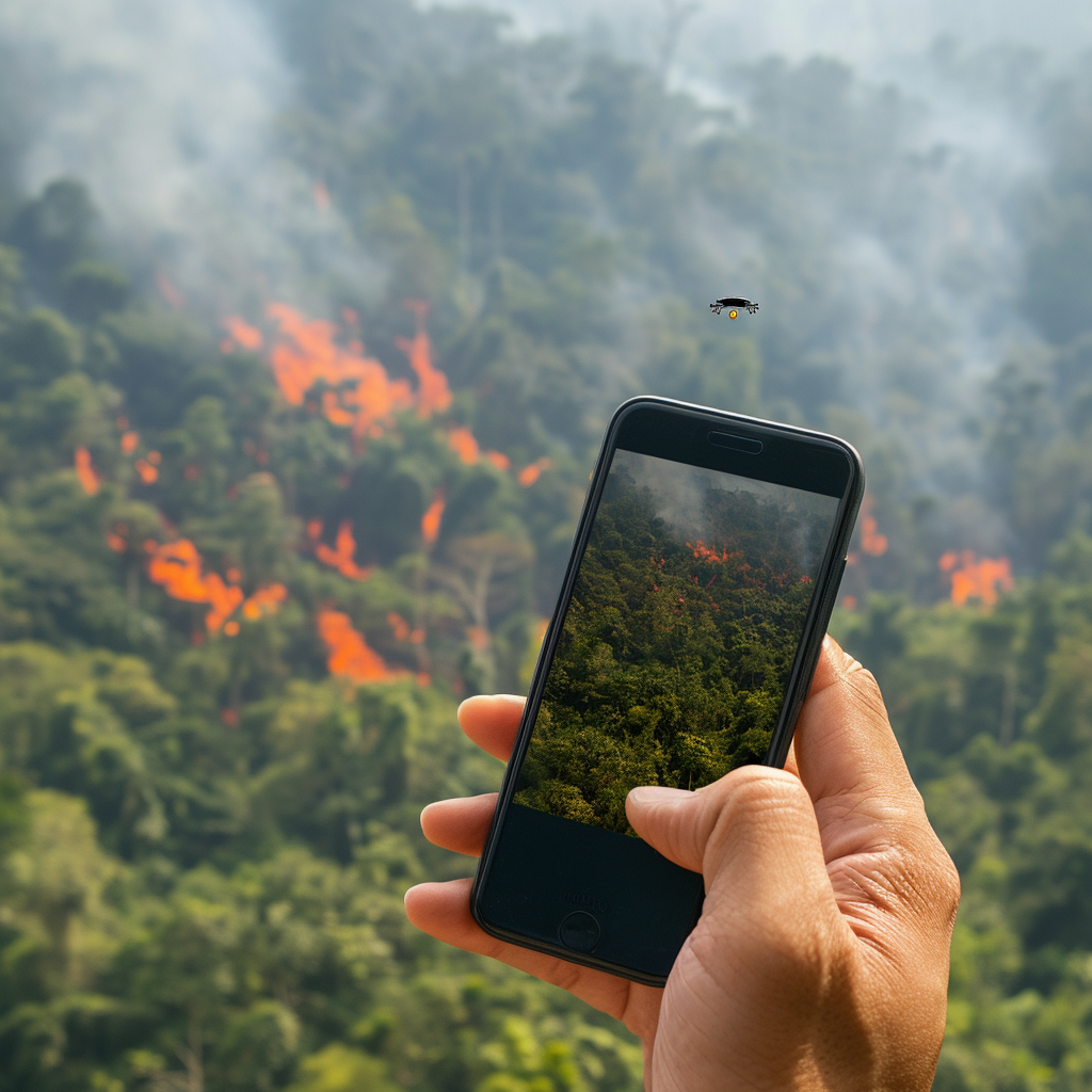
Imagine soaring above the lush landscapes of Thailand with the ultimate superpower—foreseeing fiery hotspots before they burst into an inferno. Now, though you might not have supernatural abilities, you wield the next best thing in your pocket—a cutting-edge app, a sentinel in your smartphone that opens a portal to the skies, offering real-time alerts to potential blazes. This isn’t just any app; it’s a vigilant guardian, a watchful assistant to government bodies, altruistic volunteer brigades, and the civic-minded public, all united in the battle against forest fires.
As mother nature’s clock ticks towards the latter end of the year, the emerald layers of Thailand and its neighbors become a critical battleground. Here, fires often find their uncontrolled stage, spreading chaos. Yet, in 2023, an astronomical tally of 109,035 potential catastrophes—hotspots—mapped out across 17 northern provinces in just five months laid bare before the watchful eyes of the VIIRS satellite system. Chiang Mai led this fiery dance card with 13,094 hotspots, followed closely by other provinces, each carrying a number that’s more than just a statistic—it’s an urgent call to vigilance.
The ever-watchful Siam Lawawirojwong, the oracle of geoinformatics from GISTDA, peers into the abyss of data and divines a revelation—a minute reduction of hotspots this January, a whisper of hope amid the smoky gales of past seasons. With a blend of satellite sorcery and earthbound analytics, patterns for prevention emerge: a decade of hotspots, charred historical battlegrounds, the dance of weekly moisture, the fiery fingerprint of agriculture, whispers of weather patterns, and the elusive El Niño—all weave together the tale of the impending fire season, likely a mirror of yesteryear’s.
The union of humanity against this incendiary threat is imperative. The synergy between agencies, the courage of volunteers, and the resolve of locales is heralded as the linchpin in safeguarding the forests that drape the land.
In the digital forge of GISTDA, the app named FAIPA, “Forest Fire” in the language of Shakespeare, emerges as the harbinger of hotspots, casting its gaze across districts and provinces. Whether the glow of fire nears close to home or in neighboring ASEAN territories, FAIPA’s omniscient reach envelops the region. With the wisdom of the archives accessible at the stroke of midnight or the break of dawn, FAIPA becomes an indispensable tool.
For those tethered to the Android or iOS realm, fear not, for this digital sentinel demands not a dime. At your fingertips, you hold the key to panoramic views of potential danger not only within the borders of Thailand but also in the verdant reaches of Southeast Asia. Beyond mere dots on the map, the app weaves a narrative of size, location, and atmospheric temperament.
The grand vision of GISTDA stretches further than a simple alert system. It’s a call to arms for awareness, responsibility, and proactive guardianship against the raging wildfire. With every download, every alert, every shared piece of wisdom, the tide turns ever so slightly in humanity’s favor, heralding not just the advancement of technology, but the triumph of collective vigilance.


Be First to Comment