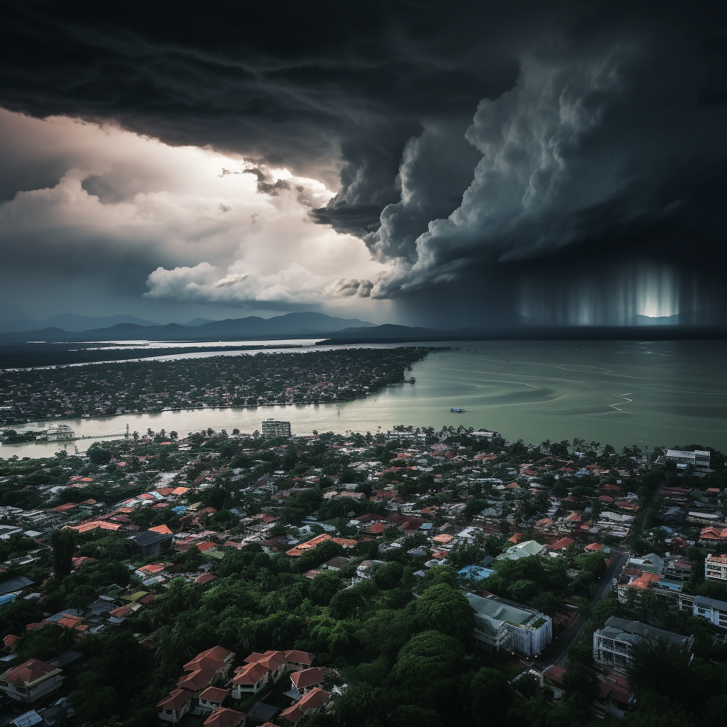
The Thailand Meteorological Department has issued a surge of concern due to the looming thunderstorm warning sweeping across 45 provinces, threatening to engulf 60% of Bangkok. This weather turmoil is a result of the low-pressure area building over the Bay of Bengal, overturning the tranquility of Thailand and the Gulf of Thailand with a moderately robust southwestern monsoon blowing over the Andaman Sea.
The aged azure skies of the northern, northeastern, eastern, and western southern regions have been traded for melancholic grayness and tempestuous thunderstorms. Stalwart torrents of rain, heavy enough to make Poseidon himself proud, threaten to bring about floodlike conditions. Those residing along the topographical veins of these areas where water flows freely, mountainous and low-lying zones, are advised to remain vigilant and cautious. Traveling through these tempest-infused areas should be a journey undertaken with meticulous caution.
The nautical crowd isn’t safe either. Straddling the crests of the waves in the upper Andaman Sea and the upper Gulf of Thailand, winds seem moderately powerful, causing waves to scale the heights of 2 to 3 meters. In zones plighted with thunderstorms, these waves have the might to exceed the surly 3-meter mark. Sailors, therefore, best hoist their beacons of caution when navigating these tempest-touched waters, especially in areas of ongoing thunderstorms. The adage about ‘any port in a storm’ applies to small boats in the upper Andaman Sea and the upper Gulf of Thailand; it is wisest to remain ashore.
The Pacific Ocean, in an exhibition of raw power, has birthed Typhoon ‘Saola’, currently laying siege to the northeast of the Philippines. Its projected path is expected to veer into the upper part of the South China Sea between the cusp of August and early September, then migrate to the southeastern coast of China between September 2nd and 4th. Thailand might be spared the direct wrath of the typhoon, but any planned travels to the affected areas should not be undertaken without a meticulous review of the latest weather forecasts.
The weather forecast for Thailand, a drumroll of thunderstorms ensues, with a 60% likelihood of precipitation and occasional heavy rainfall in the northern region. Cities like Chiang Rai, Lampang, Phayao, Nan, Phrae, Uttaradit, Phitsanulok, and Phetchabun may bear the brunt of this atmospheric onslaught, with intermittent wind speeds scowling at 10-20 kilometers per hour from the southwest.
The northeastern region isn’t too far behind either, with a 60% chance of thunderstorms and heavy to dire rainfall flaying open the skies in certain parts. Provinces caught in the crosshairs of this weather turbulence are Loei, Nong Khai, Bueng Kan, Nong Bua Lamphu, Udon Thani, Sakon Nakhon, Nakhon Phanom, Khon Kaen, Kalasin, Mukdahan, Maha Sarakham, Roi Et, Yasothon, Amnat Charoen, Sisaket, and Ubon Ratchathani.
The central and eastern regions are also under foreseeable threat of weather turmoil, with a 40% chance of thunderstorms spellcast on provinces such as Uthai Thani, Ayutthaya, Lopburi, Saraburi, Kanchanaburi, and Ratchaburi in the Central region, and Chanthaburi and Trat in the Eastern region.
The Southern region, with its west and east coasts, is a theatrical exhibit of how nature’s weather orchestra plays on. Whether it’s the 60% chance of thunderstorms threatening to flood Ranong, Phang Nga, and Phuket along the west coast, the tumultuous 40% uncertainty in Prachuap Khiri Khan, Chumphon, Surat Thani, Yala, and Narathiwat along the east coast, or the looming spectre of rain casting its shadow over 60% of Bangkok, the harmony of nature’s symphony is unequivocally uniform and undeniably overwhelming.


Be First to Comment