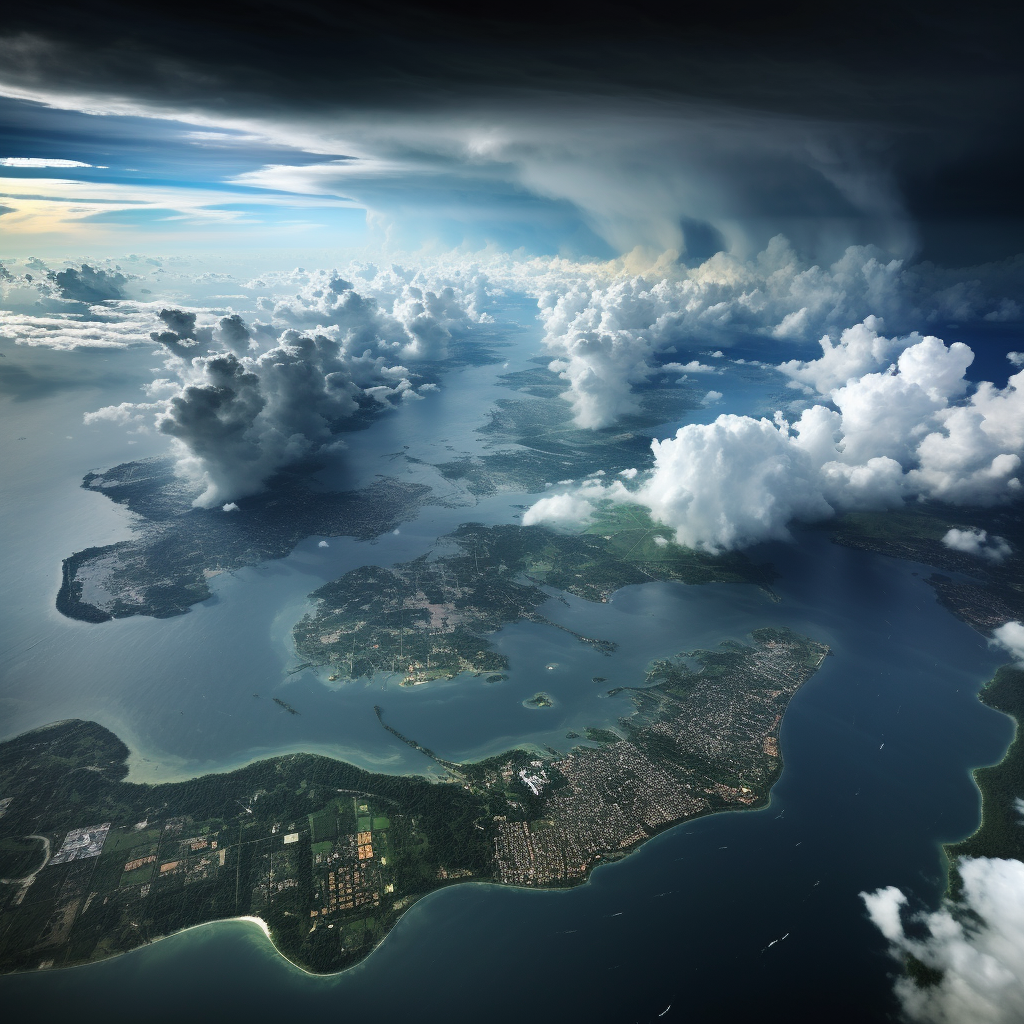
In a recent weather update, Thailand’s premier meteorological body has issued a severe weather warning for a scattered collection of 50 provinces. Bracing for an onslaught of intense downpour, regions across the country are on high alert, with the southern territories expecting the harshest deluge—potentially sparking instant flash floods and furious forest water surges. Bangkok is also pushed onto this precipice, with a precarious 60% chance of torrential showers and furiously gusty conditions forecasted over the next 24 hours.
This shift in weather patterns is a fallout from a high-pressure or frigid air system ushered in from China’s vast expanses, which has spread out and blanketed the upper northeastern regions of Thailand. Simultaneously, easterly winds have been asserting dominance over the lower central and southern regions, accompanied by a hovering low-pressure trough that shadows the Malaysian coastline. This interplay of air currents promises to pelt the northern, eastern, and central parts of Thailand with violent thunderstorms and gusty winds.
The southern region contrasts starkly, preparing not for thunderstorms but for an onslaught of rain—ranging from heavy downpours to relentless, critical precipitation in some areas. Hence, citizens living in the higher reaches of Thailand are strongly encouraged to stay alert for adversities that may arise due to thunderstorms and potent winds — it’s wise to avoid open spaces, stay clear from massive trees and fragile buildings, and be wary of unstable advertising signs. Caution is necessary, particularly when traversing areas besieged by thunderstorms.
For southerners, heavy-to-extreme rain and cumulative precipitation could trigger flash floods and woodland runoff, especially near sloping terrains close to waterways and in low-lying zones. Brace yourselves, as waves in the Gulf of Thailand are expected to surge 1-2 metres high — the Andaman Sea sets a similar stage, with 1-metre tall waves set to crash against the shore, growing freakishly over 2 metres high in thunderstorm-ridden spots. Sea-goers and boat operators are advised to proceed with extreme caution, avoiding cruising in thunderstorm-stricken areas during this period, as highlighted by KhaoSod.
Meanwhile, forecasts for the 24-hour window from 6AM today, to 6AM tomorrow, predict thunderstorms in roughly 30% of the north, with windstorms tearing across areas like Kamphaeng Phet, Sukhothai, Phichit and Phitsanulok. The northeastern region will experience thunderstorms covering about 10% of the area, particularly in provinces like Loei, Nakhon Ratchasima and Surin. The central region is not spared either — it will witness thunderstorms covering about 60% of the area, affecting regions like Suphanburi, Nakhon Sawan, Uthai Thani and others.
Keep your raincoats and umbrellas handy, particularly in the southern region — the east coast braces for thunderstorms covering 70% of the area, coupled with excessive rain in domains like Prachuap Khiri Khan, Chumphon and Surat Thani. Similar weather is also anticipated on the west coast in places like Ranong, Phang Nga and Phuket. Meanwhile, Bangkok and its surroundings will have thunderstorms covering 60% of the area, with gusty winds expected in pockets across the region.
In such capricious weather, it’s prudent to stay informed and remain safe, as our only way forward in this storm. Luck favours the prepared, so make sure you are!


Be First to Comment