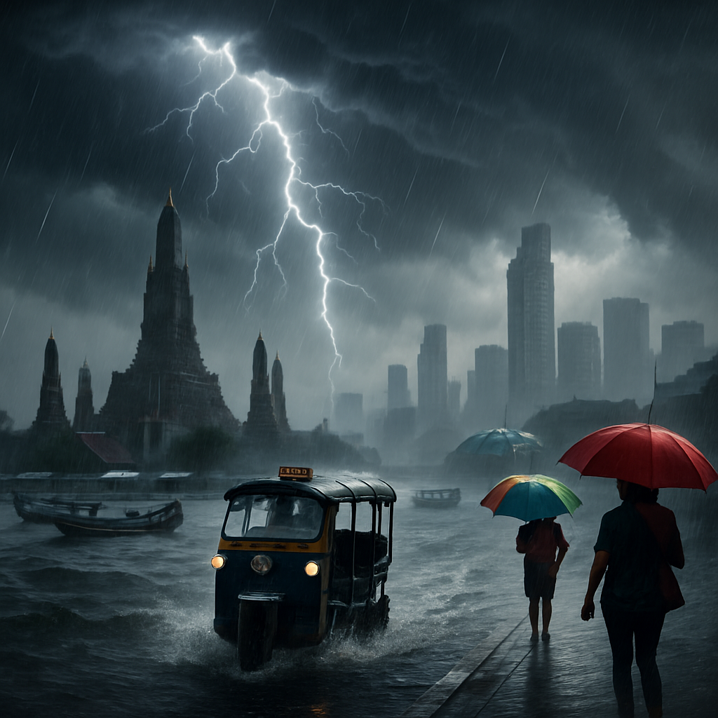
Thailand’s sky has its drama hat on. The Thai Meteorological Department (TMD) is flagging widespread thunderstorms across 45 provinces, with a particular focus on the central and eastern regions. Bangkok, ever the scene-stealer, is tipped for the heaviest downpours. After the rumbles and flashes of August 8, officials are urging everyone to stay alert as the southwest monsoon continues to flex over the Andaman Sea, Thailand, and the Gulf of Thailand.
What’s brewing? The southwest monsoon is feeding moisture-laden air across the country, and when that meets daytime heat and local topography, thunderstorm cells bubble up fast. Expect bursts of heavy rain, gusty winds, and the occasional lightning show. In short: keep that umbrella handy and your weather app closer.
Out at sea, conditions deserve respect. The upper Andaman Sea will see moderate wind and waves around 1 to 2 metres, kicking past 2 metres wherever storms roll through. Mariners, give thunderstorm zones a wide berth and navigate with caution. On the Gulf side, similar rules apply—pockets of rougher seas can develop quickly when storm clouds stack up.
Here’s how the forecast stacks up region by region, according to TMD:
- Northern Thailand: Thunderstorms in about 40% of the area, especially around Mae Hong Son, Chiang Mai, Chiang Rai, Lampang, Tak, and Kamphaeng Phet. Temperatures dip to 22–24°C and climb to 32–36°C. Southwesterly winds blow at 10–15 km/h. Mountain drives may encounter slick roads and sudden downpours—go easy on those curves.
- Northeastern Thailand: Around 40% coverage for storms, with Loei, Chaiyaphum, Khon Kaen, Amnat Charoen, Nakhon Ratchasima, Buriram, Surin, Sisaket, and Ubon Ratchathani in the mix. Expect lows of 24–26°C and highs of 33–37°C. Southwesterly winds 10–15 km/h. Watch for brief, intense showers that can swell small canals.
- Central Region: A soggy 60% of the area is on rain duty. Nakhon Sawan, Uthai Thani, Suphan Buri, Phra Nakhon Si Ayutthaya, Kanchanaburi, Ratchaburi, Nakhon Pathom, Samut Songkhram, and Samut Sakhon are the usual suspects. Temperatures run 23–26°C at the low end and 33–36°C at the high end, with southwesterly winds at 10–15 km/h. Afternoon commutes could be messy; plan for extra travel time.
- Eastern Region: Another 60% storm chance, especially over Nakhon Nayok, Prachin Buri, Sa Kaeo, Chachoengsao, Chon Buri, Rayong, Chanthaburi, and Trat. Expect 24–27°C in the morning and 33–36°C by afternoon. Southwesterly winds pick up to 15–30 km/h. Seas sit around 1 metre but can rise above 2 metres in thunderstorm zones, so small boats should be cautious near open waters.
- Southern Region (East Coast): Thunderstorms over about 40% of the area, notably in Phetchaburi, Prachuap Khiri Khan, Chumphon, Songkhla, Pattani, Yala, and Narathiwat. Lows land between 23–25°C and highs 33–36°C. Southwesterly winds 15–30 km/h, with waves around 1 metre and higher than 2 metres near storms. Expect short, sharp showers along coastal districts.
- Southern Region (West Coast): Around 40% coverage for storms targeting Ranong, Phang Nga, Phuket, Krabi, Trang, and Satun. Lows 24–26°C, highs 32–35°C. Southwesterly winds freshening to 15–35 km/h. Seas at 1–2 metres, topping 2 metres in thunderstorm areas. Island-hoppers and snorkellers should check local advisories before heading out.
Meanwhile, Bangkok and its surrounding provinces get a 60% chance of thunderstorms. Minimum temperatures hover around 25–27°C, with highs of 34–36°C. Southwesterly winds meander at 10–15 km/h. Translation: classic capital-city monsoon weather—steamy, stormy, and capable of turning a sunny lunchtime into a soaked evening.
Practical tips to ride out the rumbles:
- Keep an eye on drainage around your home and workplace; clear leaves and debris to prevent pooled water.
- Unplug sensitive electronics during lightning-heavy periods and avoid standing water near exposed sockets.
- Motorists should slow down in heavy rain, avoid flooded underpasses, and beware of hydroplaning on smoother roads.
- Motorbike riders: a lightweight rain poncho and extra stopping distance are your best friends.
- Boat operators should monitor marine bulletins, wear life jackets, and steer clear of thunderstorm cells—if in doubt, delay departure.
- Outdoor plans? Have an indoor Plan B. Parks and peaks can become lightning hotspots; seek shelter when thunder is near.
Why so moody, sky? The southwest monsoon is Thailand’s rainy-season playlist, pulling moisture from the Indian Ocean and fanning it inland. When that flow collides with daytime heating or sea breezes, updrafts build clouds into towering thunderheads. The result: fast-forming storms, sudden showers, and the occasional spectacular lightning streak. It’s beautiful—until your soi turns into a stream.
If you’re traveling across regions, expect variety. The North may start clear and end with a dramatic evening downpour. The East can swing from hazy sun to sea-swept squalls in a flash. Along the Andaman coast, stronger winds mean choppier rides between islands. Across Bangkok and the Central Plains, localized cloudbursts can flood low-lying spots even when nearby districts stay bone-dry.
Bottom line: keep your rain gear close, your alerts on, and your schedule flexible. With thunderstorms targeting 45 provinces and Bangkok likely to take the heaviest hit, a little preparedness goes a long way. The monsoon is doing what monsoons do—watering the fields, cooling the air, and occasionally testing our patience. Stay safe, stay dry, and may your next cloudburst come with a café nearby and a good view of the show.


Bangkok gets ‘heaviest downpours’ every year yet the drains still vomit water back onto the street. TMD tells us to clear leaves, but whole sois are blocked by construction waste and plastic. If 45 provinces are on alert, why is the capital still improvising with sandbags?
City crews were out on Asok last week, but the trash load was insane. Blame the system, sure, but also the people tossing cups into canals.
I literally cleared my own drain and found rebar shoved through the grate from a building site. Enforcement is a joke when fines are cheaper than doing it right.
Both can be true: residents need to stop littering and the city needs to up mechanical cleaning before peak storm hours. The monsoon is predictable; the response shouldn’t be. Budget photo-ops don’t move water.
Storms were like this when I was a kid; people just built over the khlongs. We erased our floodplains and now act surprised.
Historical storms happened, but intensity and short-duration totals are trending up, and encroachment makes the impact worse. Restore retention, enforce setbacks, and invest in pump redundancy. It’s not either-or unless you want annual chaos.
Fine, then let’s stop approving new condos that choke the last drainage corridors. I’m tired of being told to buy a bigger umbrella.
This is exactly what a warming ocean does: more moisture, more energy, nastier cloudbursts over cities like Bangkok. If we don’t scale sponge-city measures—permeable pavements, retention parks, rooftop cisterns—we’ll keep mopping floors. Weather isn’t politics, it’s physics.
Every few years we hear the same alarm bells and the same ‘unprecedented’ line. Monsoon seasons cycle; stop pretending your carbon tax will change clouds.
Forget taxes for a second and look at risk management—drains that handle a 10-year storm will fail under a 25-year event. The cost of doing nothing is paid in lost work, damaged homes, and insurance hikes. Adaptation buys us time even if you dispute the cause.
Permeable concrete actually works on alleys and parking lots, but it needs maintenance or it clogs. Cheap now, expensive later if we don’t plan the upkeep.
If you don’t respect a squall line, you don’t belong at the helm. Two-meter seas with gust fronts will put a family speedboat sideways fast. Refunds are cheaper than rescues.
If we cancel every ‘60% chance’ day, the season is over; staff still need salaries. TMD needs clearer go/no-go thresholds for small craft so we’re not the villains when we pull the plug.
My threshold is lightning within 10 km or winds above 25 knots on the route; game over. Offer harbor cruises, brief customers, and stop pretending whitecaps are ‘fun’.
Booked snorkeling in Phuket tomorrow; better to go early morning or wait it out? I’m okay with rain, not with scary waves.
Mornings often calmer, but check live radar and marine bulletins before you leave. And pick operators with radios, life jackets for everyone, and a plan B.
Landing in Bangkok on the 9th—should I scrap my Koh Chang side trip with all this thunderstorm talk? I’m not trying to star in The Perfect Storm: Tourist Edition.
Don’t cancel yet; storms are hit-and-miss and ferries pause when it’s unsafe. Build a buffer day and follow local advisories.
If the ferry pauses, do they refund or just delay?
Samet or even Ayutthaya might be lower stress if your schedule is tight. Island time is great until you’re marooned at a pier with wet luggage.
Ayutthaya in the rain sounds moody in a good way; I’ll pivot and save Koh Chang for another trip.
Rain feeds the rice, but these sudden cloudbursts rip seedlings out like weeds. Dams time releases for power, not for fields downstream. We need coordination that listens to farmers, not just load curves.
Hydro has to stabilize the grid during storms or hospitals go dark. That said, better forecasting could align releases with monsoon pulses.
Exactly—give us 48-hour heads-up and controlled flows after a dry spell so we can plant or brace. We’re not asking for magic, just timing.
And stop paving over floodplain paddies around Pathum and Nakhon Sawan. Those fields are the city’s kidneys, and we’re selling them off lot by lot.
Why is every forecast ’40–60% chance’ across half the map? It feels like hedging, not helping. I need hyperlocal, not a weather horoscope.
That percentage is the chance of measurable rain somewhere in the forecast area or time window. For street-level, you want nowcasting, which only looks 1–3 hours ahead.
Great, then push alerts per district with radar-based nowcasts and call the wider outlook what it is.
We’re piloting cell-based alerts on the TMD app and LINE; latency is our enemy, not intent. Keep the feedback coming and report misses with time and place.
Every heavy cell turns the Rama 9 underpass into a swimming pool. Close lanes earlier, stage pumps before 5 p.m., and stop waiting for viral videos to act. We know the hotspots; treat them like they matter.
Pumps and crews are pre-positioned, but blockages and power flickers slow starts. We’re publishing hotspot maps this month to improve transparency.
Good—add live pump status and rainfall gauges so we can plan routes instead of roulette.
I love the cooler air after a storm, but my alley floods in 15 minutes flat. Landlord says ‘it’s the season’ and shrugs.
If the driveway lip is higher than the street, water has nowhere to go. Add a trench drain, check the backflow flap on the sewer line, and slope the paving away from the house.
Thanks, I’ll show him your note; maybe numbers will convince him. Sandbags aren’t a strategy.
One branch in a gust and half the block loses power. Bury the lines, at least along hospital routes and BTS corridors.
Undergrounding is 5–10x the cost and slower to fix when it floods, so we have to prioritize. Start with critical feeders and prune trees aggressively elsewhere.
Deal—tier the upgrades and enforce billboard safety so metal sheets don’t become wind-blown knives.
Cloud seeding sure seems to make storms dump harder these days. Government plays with the sky, then blames ‘monsoon dynamics’ when neighborhoods flood.
Seeding can’t create storms; it only nudges existing clouds and is usually paused near strong convection and lightning. The bigger driver is warm sea surface temps feeding moisture into the monsoon flow.
Then publish the flight logs and outcomes in Thai so people can see what’s happening, not just rumors.
Seeding missions are logged, and ops stand down around thunderheads by policy and common sense. Either way, a 2-meter sea and gust fronts aren’t coming from silver iodide.