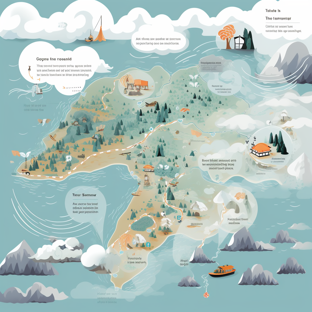
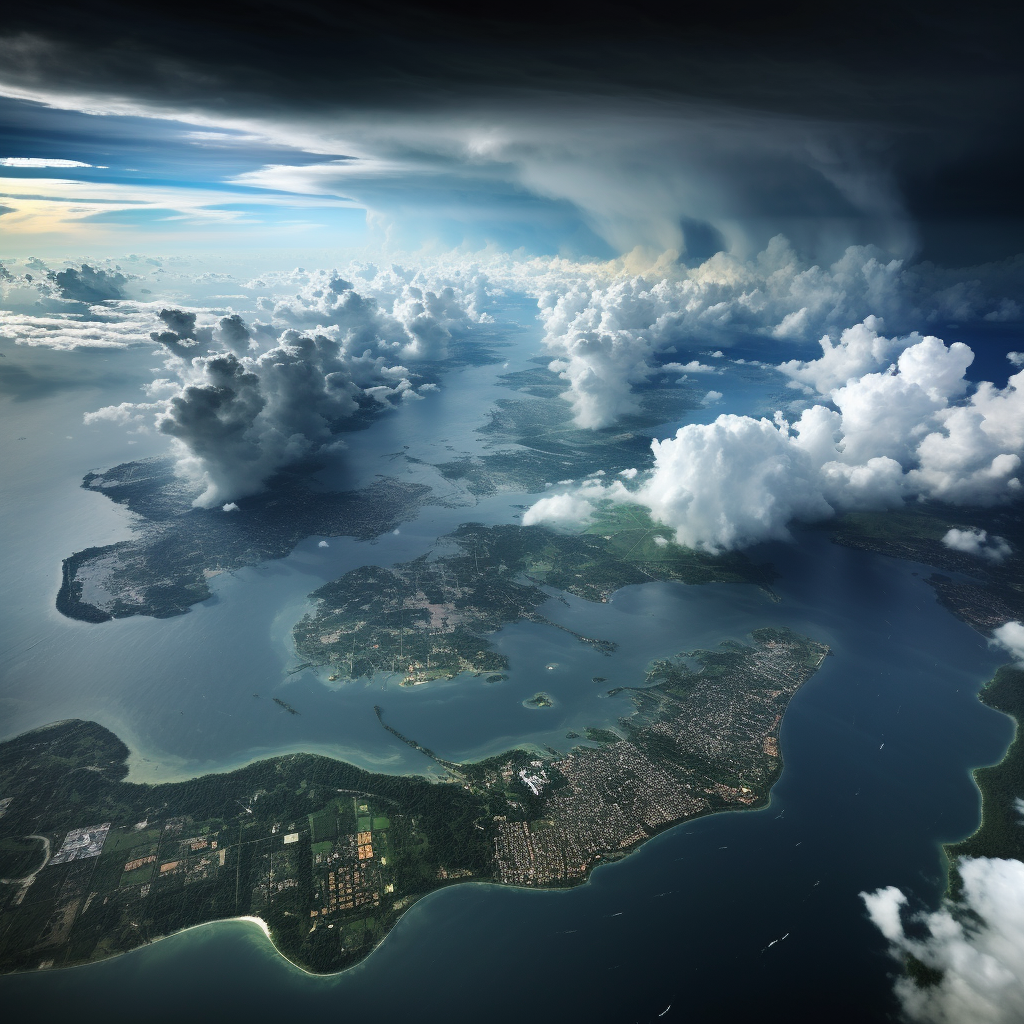
Our current climatic condition is significantly influenced by an average-strength high-pressure system originating from China. This atmospheric phenomenon is blanketing both the northeastern and northern parts of Thailand, extending its reach to the southern expanses of the Gulf of Thailand. Carrying a significant amount of moisture from both the Andaman Sea and the Gulf of Thailand, the system is causing significant meteorological activity.
Residents residing in these regions are being strongly urged to maintain high alert for substantial rainfall and accumulative precipitation. Such drastic weather alterations could potentially trigger immediate flooding and even flash floods. This warning is particularly crucial for individuals in low-lying areas and those inhabiting regions characterized by prominent mountainous landscapes where the risks are substantially greater.
Turning our attention seaward, the conditions in both the Andaman Sea and the Gulf of Thailand are also affected by this high-pressure system. Sea waves are anticipated to measure approximately 1 to 2 meters in height, and even escalate further in regions witnessing thunderstorms. These turbulent sea conditions require small boat operators to exercise extreme caution and, if possible, steer clear from storm-affected areas completely. The tempestuous weather poses serious threats to the safety of sea travelers, underlying the importance of heeding to weather advisories and maintaining constant vigilance.
This weather phenomenon, primarily driven by the moderate high-pressure system, holds significant importance in shaping our climate and weather patterns. It is hence crucial to stay informed and prepared, especially during such periods of meteorological instabilities. Constant vigilance and readiness can go a long way in mitigating the adverse impacts of these weather alterations, enabling people to better protect themselves and adapt to the changing climatic conditions.


Be First to Comment