Taking a celestial view of earth’s terrain, satellite images have thrown light on the expansive damage caused by flooding in various regions. An extensive area spanning over 160,947 hectares has been affected by these relentless floods.
The flooding baton has passed through a myriad of regions, traveling from Ayutthaya, Phichit, Sukhothai, to Phitsanulok, Nakhon Sawan, Suphanburi, Phetchabun, and even reaching Lopburi, Ang Thong, Saraburi, Uttaradit, Singburi, and Chai Nat provinces. Witnessing the aftermath of this deluge, one can see predominant damage on agricultural lands, specifically rice fields nestled in low-lying areas flanking the main and secondary rivers. A generous portion, amounting to 67,972 hectares of the affected areas, is utilized predominantly for agricultural purposes. Apart from weakening the agricultural backbone of these regions, the floods have also disturbed communities thriving near these fields, crippling their daily lives and creating obstacles in transportation routes.
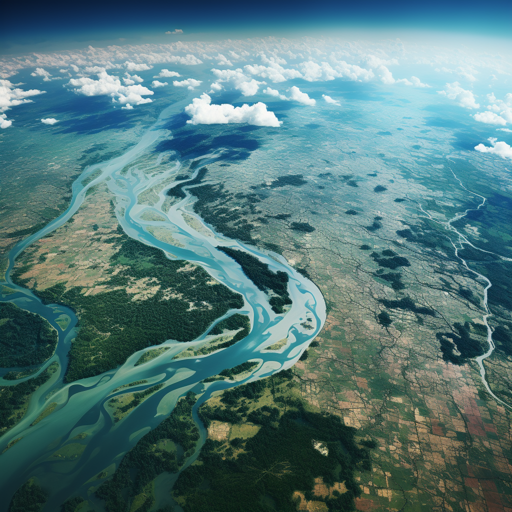
The Geoinformatics and Space Technology Development Agency (GISTDA) has taken the responsibility of monitoring the situation by analyzing satellite images. The role of Cosmo-SkyMed-4 satellite on October 14 cannot be ignored. The orbiting envoy was able to capture the flood situation in detail, enabling GISTDA to digest this visual data into vital information to be shared with other relevant authorities responsible for controlling the situation. This data provides a robust framework for planning counteractive measures, tracking developmental efforts, and supporting the ongoing assessment of the devastating flood situation.
Amidst this crisis, GISTDA is taking steadfast measures to continue monitoring the flood situation without any interruption. The institute is preparing and adjusting satellite signal reception to ensure continuous analysis of areas anticipated to be scarred by continued flooding. This proactive approach promises not just prompt action but aims to limit the potential damage in the foreseeable future.
For those looking for more details, a comprehensive report on the flooded areas in various provinces is readily available. The GISTDA has made this available for everybody on https://disaster.gistda.or.th. It serves as a vault of information keeping you updated with the ongoing situation, the steps taken for disaster management, and anticipated plans for future occurrences.
This calamity of floods has indeed left a mark on the regions affected, but it is the relentless spirit of survival and recovery, supported by modern technologies, that will eventually help bring life back to its usual pace.


Be First to Comment