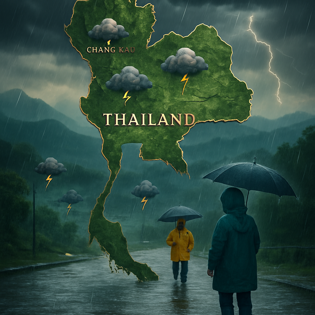
The latest bulletin from the Meteorological Department rings the alarm bells for all of us in Thailand. It cautions us to brace ourselves for a deluge of heavy rain over the next two weeks, anticipates an intensified monsoon that will drench large swaths of the country. According to the department’s Sunday alert, their prediction isn’t mere guesswork. It’s derived from advanced weather simulation models developed by the European Centre for Medium-Range Weather Forecasts (ECMWF). These models paint a dramatic weather picture, suggesting that some regions could be submerged under 750 millimeters of rain by July 24.
The department has raised the red flag, signaling the potential for flash floods and sudden runoffs, whisking us away from our daily routines to prepare for nature’s impending high-pressure wash.
Northern Provinces Await the Monsoon’s Wrath
Batten down the hatches, citizens of Thailand’s upper North and Northeast! These areas are squarely in the crosshairs of a robust monsoon system that gallivants into action starting Sunday. The rain’s dance card is quite full; expect everything from polite drizzles to torrential downpours. Notably, Tak, Mae Hong Son, Chiang Mai, and Chiang Rai should keep their umbrellas close as these provinces are on the weather’s speed dial for Sunday.
Meanwhile, in the upper Northeast, provinces such as Loei, Nong Bua Lamphu, Udon Thani, Nong Khai, Bueng Kan, and Sakon Nakhon aren’t off the hook either. They’re bracing for a potential soaking, thanks to their position along the unruly monsoon ridge that makes them prime candidates for flash floods and lightning-fast runoff.
Southern and Eastern Flanks? Consider Yourselves Warned!
Don’t feel left out, southern and eastern provinces! Ranong, Phang Nga, and Phuket take note, as do Chanthaburi and Trat. The Andaman coast and the eastern coast are next on heavy rainfall’s hit list. So keep a wary eye on the sky and possibly invest in a pair of snazzy rubber boots.
A Rainy Outlook from Mid- to Late July
Sometime between your second and third cup of tea from July 14 to 17, expect light to moderate showers over the northern half of the country. The heavens will split open sporadically to douse the upper North and upper Northeast with heavier bursts. Rain isn’t playing favorites either; this watery invasion extends its reach to some southern provinces as well.
Roll on July 18 to 27, and the upper North will be entangled in a capricious love affair with the rain. Expect a dizzying dance of light and heavy downpours as the monsoon amps up its game – a true rain orchestrator’s symphony.
Stay Vigilant: The Weather Watches… So Should You!
Stay sharp, folks! The Meteorological Department isn’t just sounding a grand finale horn; they’re urging each one of us to stay on top of the weather updates and heed their warnings. Flash floods and landslides can catch even the fastest among us off guard, so keep a weather eye out for these hazards while steering clear of fast-moving waters. Mother Nature rarely puts on such an intense show without purpose, so let’s watch her performance safely.


I think the media exaggerates these weather reports just to get everyone panicked! 750 mm of rain? Come on, that’s just fearmongering.
Actually, 750 mm isn’t unusual for monsoons in this region. It can be dangerous if unprepared. Safety first!
Maybe, but I still think we just need thicker boots and a good umbrella, not hysteria.
It’s better to be over-prepared than underprepared. I’d rather have a panic pack ready.
Let’s just remember how the 2011 floods caught everyone off guard. Better safe than sorry!
Agreed, Mary. If the authorities are warning us, there’s a good reason.
It’s still different though. Technology has improved, and we can handle it better today!
Why don’t they build better infrastructure instead of always expecting us to adapt? It’s the government’s fault!
Building infrastructure takes time. A focused community effort helps quicker.
Yeah, but shouldn’t we be prioritizing these issues now? Climate change is here.
I wonder how many red alerts have been ignored over the years, and how many disasters could’ve been avoided.
Exactly! People often dismiss the warnings and end up regretting it.
I’m from Chiang Mai, and this report has me very worried. Last time my house was under a meter of water.
Stay safe, buddy. Are there community efforts in place for preparation?
Not extensively, we tend to act only when the water’s already here.
Every time there’s heavy rain, the roads become like rivers. Why doesn’t anyone talk about improving street drainage?
Drains are part of infrastructure improvements, but it’s an uphill battle with corruption.
Or, we could look at nature’s way – natural barriers and forests reduce flooding risks. Plant more trees!
Do the alerts cover particular times of day? I’m trying to plan my travel and avoid getting soaked.
I was planning a trip to Phuket. Is there any point going now? It sounds like a total washout.
It’s odds with nature, Nate. Check the forecasts regularly, but maybe delay if it’s very risky.
The rain itself isn’t the enemy, it’s our preparation and response that matters most.
True that! Being proactive can save lives – better organized shelters, better alarm systems.
I’m just worried about power outages. Why aren’t we talking about securing the electrical grid?
Does anyone remember the extreme weather patterns last year? Perhaps this is the new norm.
This is a reminder of our changing climate. We need sustainable practices, not just short-term fixes.
Is it safe for tourists right now? I’m supposed to fly in next week.
If you have flexibility, better wait. But if you can’t, just stay informed and cautious.
I feel bad for those in rural areas. They always get the worst of it with little help.
Definitely, rural areas are often left on their own. More centralized efforts are needed.
What’s everyone doing to prepare at home? Sandbags or perhaps just packing your valuables up high?
My family has an emergency kit, and we’ve discussed evacuation routes. Better safe than sorry!